Support WHCB
  • Winter Storm Watch for Blountville - Click for Details
    ...WINTER STORM WATCH IN EFFECT FROM LATE FRIDAY NIGHT THROUGH SUNDAY EVENING...
    Expires: January 25, 2026 @ 7:00pm
    WHAT
    Heavy mixed precipitation possible. Total snow accumulations between 4 and 10 inches will be possible, primarily north of Knoxville with the heaviest accumulations near the Kentucky border and far western Virginia. In addition to the snow, ice accumulations up to one half of an inch will be possible, primarily south of Knoxville. The greatest ice accumulations will likely be south of a line from Crossville to Tellico Plains, especially the southern Cumberland Plateau.
    WHERE
    Portions of southwest North Carolina, east Tennessee, and southwest Virginia.
    WHEN
    From late Friday night through Sunday evening.
    IMPACTS
    Expect power outages and tree damage due to the ice. Travel could be impossible.
    ADDITIONAL DETAILS
    This is a complicated forecast and details regarding the location of heaviest snowfall and freezing rain totals remain uncertain. Significant changes could occur in the coming days so please continue to monitor future forecasts.
    PRECAUTIONARY/PREPAREDNESS ACTIONS
    Monitor the latest forecasts for updates on this situation.
Listen Live

On Air Now

Koinonia House 66/40
8:30pm - 9:00pm

Current Weather

Hello, World

Hello, World


Hello, World


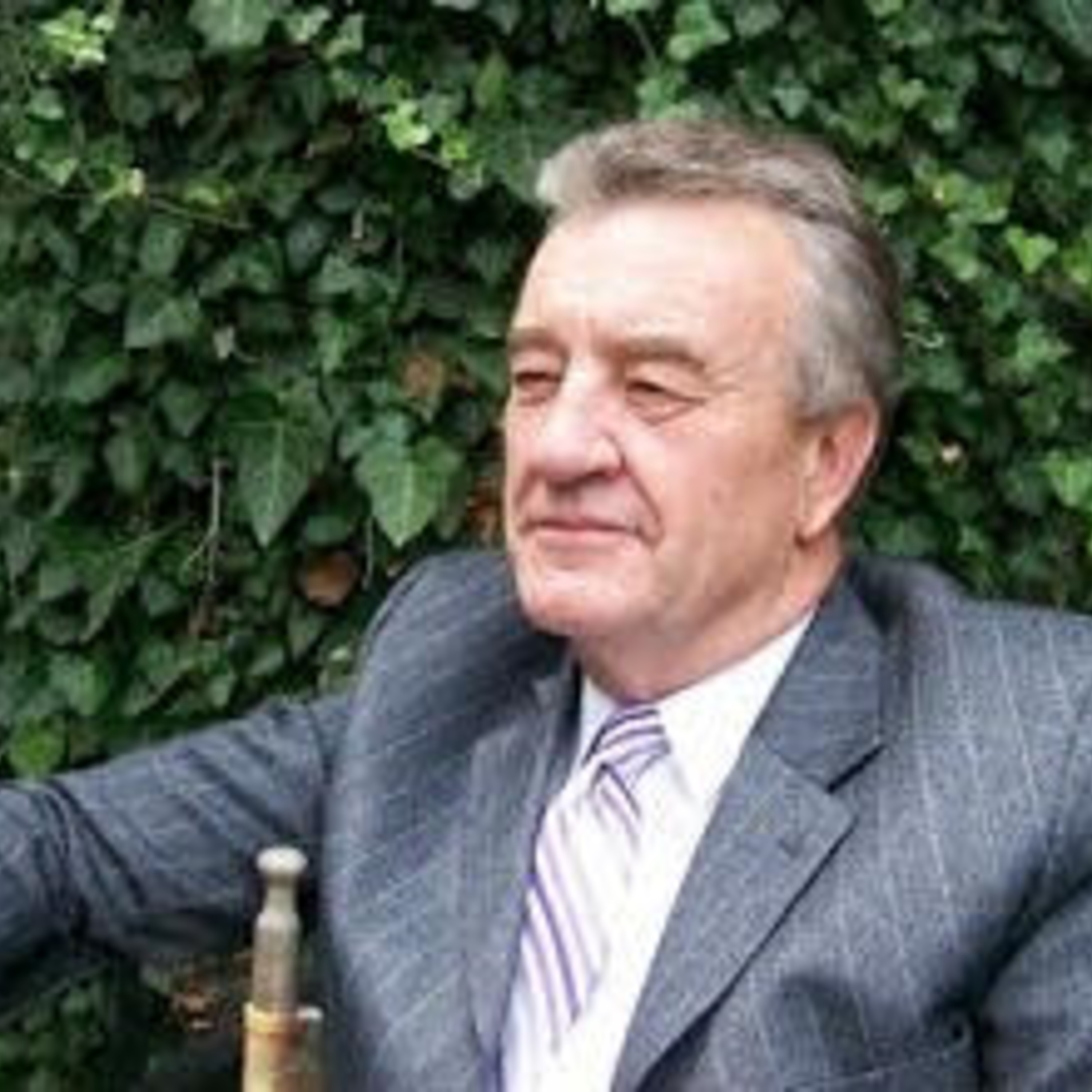
Hello, World! Podcast

The news of the day, reported from a Christian perspective by Dr. Greg Patten of Fort Wayne, Indiana.

About Hello, World

Pastor/Founder -THE CROSS in Fort Wayne Indiana. A non-denominational work. I have served there 30 years as of May 2018.

EVANGELISM - 44 years of sharing Christ around the world and from coast to coast in the USA. Thousands saved and churches REVIVED!

SHARE NOW